Errol, New Hampshire 03579
Errol, NH Lodging, Real Estate, Vacation & Travel Information
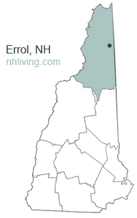
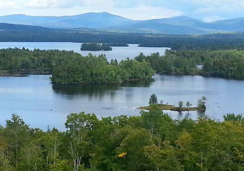
![]() First chartered in 1774, Errol, New Hampshire was named for James Hay of Scotland, fifteenth Earl of Erroll, and owner of Linlithgow Castle, the birthplace of Mary, Queen of Scots, and King James V. Sitting on the northern end of Maine border, this sparsely populated town is a popular vacation site for snowmobilers, hikers, outdoor enthusiasts, and ATV operators. Errol is home to half of Umbagog Lake and has more inland water areas than any town in Coos County.
First chartered in 1774, Errol, New Hampshire was named for James Hay of Scotland, fifteenth Earl of Erroll, and owner of Linlithgow Castle, the birthplace of Mary, Queen of Scots, and King James V. Sitting on the northern end of Maine border, this sparsely populated town is a popular vacation site for snowmobilers, hikers, outdoor enthusiasts, and ATV operators. Errol is home to half of Umbagog Lake and has more inland water areas than any town in Coos County.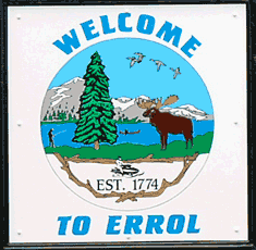
13 Mile Woods is a community forest that is permanently protected by a conservation easement from further development. The 13-mile woods region encompasses 5,300 acres of land along the Androscoggin River including nearly 10 miles of river frontage. This Northwoods wildlife corridor is a popular recreational area and offers hunting, fishing, snowmobiling, cross-country skiing, hiking, and kayaking.
To share any Errol, NH information with us, please contact us. Learn more about advertising in NHLiving.
Incorporated: 1836
County: Coos
Errol, NH Population:
2010: 291
GPS Coordinates:
Latitude: 44.4653
Longitude: -71.0816
Errol, NH Local Information
Errol Police Dispatch: 911
inns | hotels | resorts | rentals | attractions | dining | real estate
SUGGESTED GREAT NORTH WOODS NH LODGING Visit Great North Woods Vacation Specials. Browse current Northern NH area vacation rentals, inns, resorts, and pet-friendly lodging availabilities below.
New Hampshire Towns
NH Lodging Guide | Weddings
Products | NH Town Guides
New England Living Magazine
Free World Mall
Country Weddings | New England Recipes
Paradise Coast Living | Boston Red Sox Gifts
Vermont Living | ME Living | MA Living


